


maps- current
ilmbg
15 years ago
Related Stories
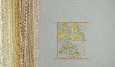
CRAFTSSchool Yourself in Making a Retro-Style Hanging Map
This easy DIY project conjures schoolroom pull-down maps of yore, without all the memorizing
Full Story
PRODUCT PICKSGuest Picks: Around the World with Map Decor
Cure a case of wanderlust with 20 decorative map ideas to use right here at home
Full Story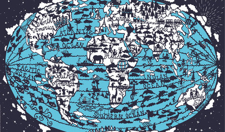
PRODUCT PICKSGuest Picks: Orient Your Room With Wall Maps
These decorative, artistic maps are as far from ordinary as Boise is from Burma
Full Story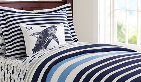
PRODUCT PICKSGuest Picks: Bedroom Decor a Little Boy Will Love
Set him up in a room filled with airplanes, maps and a bug or two, and you’ll be set for decor for years
Full Story
GARDENING GUIDESHow to Find the Right Native Plants for Your Yard
Find plant maps, sale sites and guides that make going native in the garden easier than ever
Full Story
ACCESSORIESDesigns Worth Discovering: Rookwood Pottery Tile
Get to know the company that put American ceramics on the map in the 1880s to see why its tiles are newly popular today
Full Story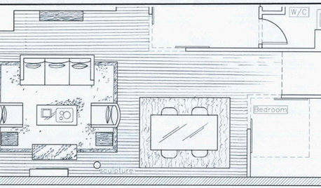
DECORATING GUIDES9 Planning Musts Before You Start a Makeover
Don’t buy even a single chair without measuring and mapping, and you’ll be sitting pretty when your new room is done
Full Story
ARTArt in Motion: The Story Behind Mobiles
Mobiles started as wind chimes, and Calder put them on the map as an art form. Here's what they are and where they're going now
Full Story
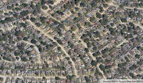
COMMUNITYGet a Bird's-Eye View of America's Housing Patterns
See the big picture of how suburban developments are changing the country's landscape, with aerial photos and ideas for the future
Full Story
mike_in_kc
Related Discussions
Sugest a Sweet Cherry?
Q
Current 2-Day Rainfall Map from HPC Look Out Yall!
Q
OT: Santa Rosa/Sonoma Area Fires --
Q
Network map function?
Q