


Pictures of Irene & Calling Jo
triciae
12 years ago


Sort by:Oldest
Comments (3)
Related Stories
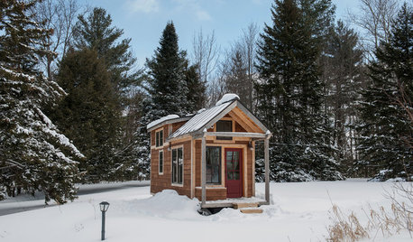
MOST POPULARHouzz Call: Show Us Your Winter View!
Share pictures of your home and garden in winter — whatever your climate, architecture and plantings
Full Story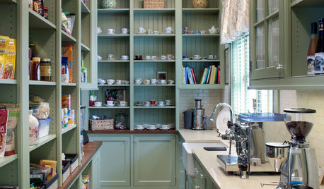
KITCHEN STORAGEShow Us Your Hardworking Pantry
Do you have a clever and convenient kitchen storage setup? Throw some light on the larder and share your pictures and strategies
Full Story
HOLIDAYSHouzz Call: Show Us Your Christmas Tree!
How lovely are your branches? Post a picture and share your stories
Full Story
PETSHouzz Call: Send in the Dogs
Have the greatest dog in the world? Share your best design photo featuring the dog you live or work with
Full Story
GREEN BUILDINGHouzz Call: What Have You Salvaged for Home Use?
If your floors, furniture, exterior materials or other home elements have a past life, we'd like to hear the story
Full Story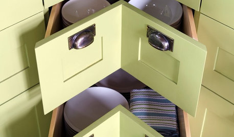
KITCHEN DESIGNShow Us Your Best Kitchen Innovation
Did you take kitchen functionality up a notch this year? We want to see your best solutions for the hardest-working room in the house
Full Story
KIDS’ SPACESHouzz Call: Show Us Your Gen Z Rooms!
Teens: How have your designed your room? Please share your ideas for your ultimate home hangout space
Full Story
KITCHEN DESIGNShow Us Your Fabulous DIY Kitchen
Did you do a great job when you did it yourself? We want to see and hear about it
Full Story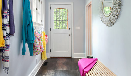
MUDROOMSHouzz Call: We Want to See Your Hardworking Mudroom
The modern mudroom houses everything from wet boots to workstations. Proud of your space? Inspire us with your photos and tips
Full Story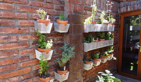
EDIBLE GARDENSHouzz Call: Where Are the Craziest Places You Grow Edibles?
Basil in a bathtub, spinach stacked up a wall ... If your edibles occupy an odd spot, we’d like to know
Full StorySponsored


sally2_gw
jojoco
Related Discussions
Batten down the hatches? Irene?
Q
Late August 2011 (Pre Irene) pics of my yard
Q
Irene Watts
Q
Hurrican Irene
Q
annie1992